- Type
- Beach
- Area
- Surroundings
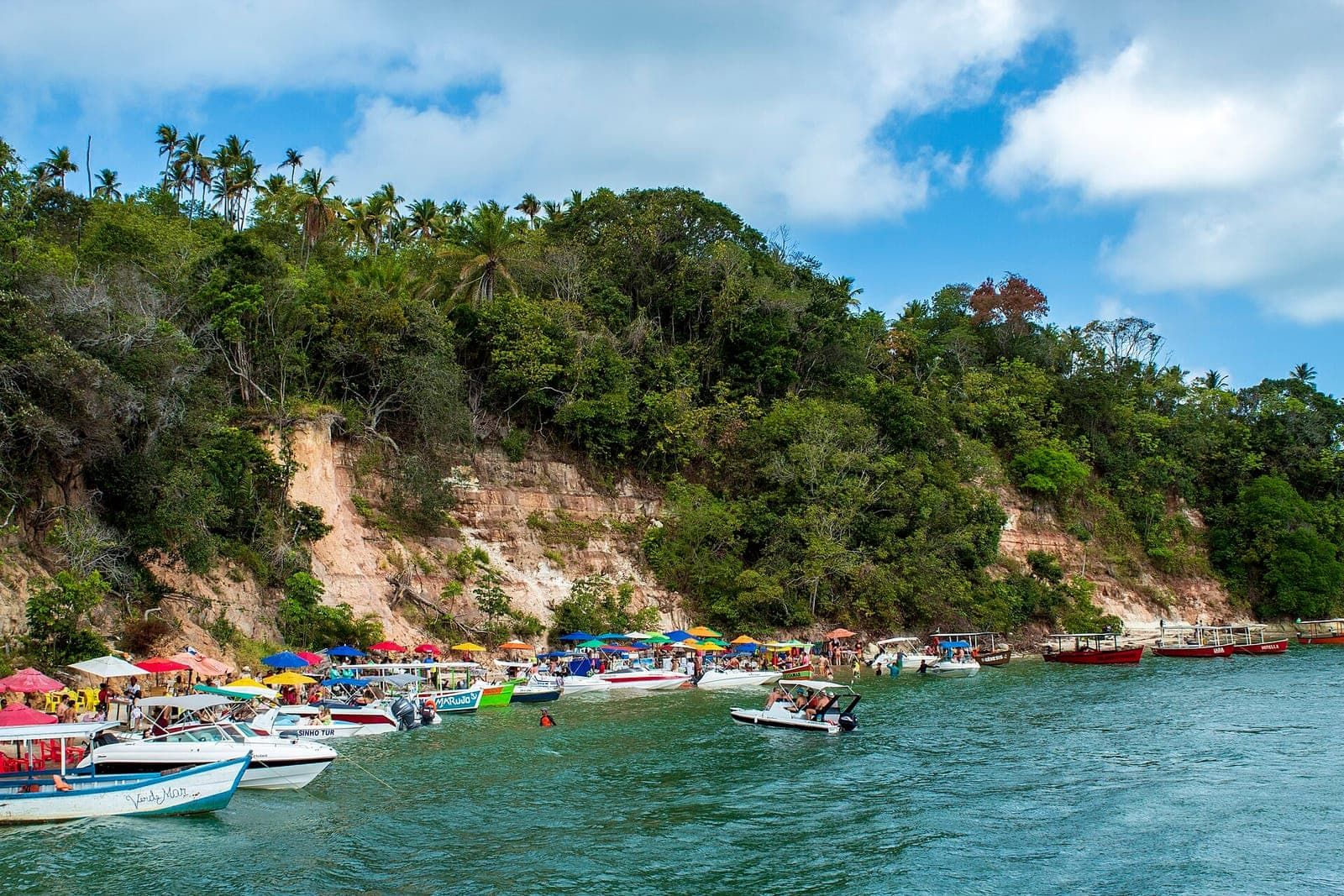
Guadalupe Beach is in Sirinhaém, on the southern coast of Pernambuco, outside Ipojuca (the municipality Porto de Galinhas belongs to). It is a beach with shallow water and gentle waves, near the mouth of the Formoso River. If you are staying in Porto de Galinhas, it works as a half-day stop on the way south or as an alternative to the Ipojuca beaches.
What it is
According to Wikipedia, the Sirinhaém coast starts in the north at Barra de Sirinhaém and continues through Gamela and Guadalupe beaches. Guadalupe is described as a river-and-sea beach, about 3 km long, with medium-grained golden sand and low, shrubby vegetation and coconut palms. It lies between Gamela Beach and the mouth of the Formoso River. The water is shallow and the waves are small, according to the same source.
The beach shares its name with the Guadalupe Environmental Protection Area (APA de Guadalupe), the state protected area that covers part of the coast of Sirinhaém, Rio Formoso, Tamandaré and Barreiros.
Where it is and how to get there
Guadalupe is south of Porto de Galinhas, past Barra de Sirinhaém Beach. We could not find the distance or travel time from the village in an official source; the route goes by car along the south coast. Check the route in your maps app and road conditions on the day.
On the other side of the Formoso River estuary lies the area of Tamandaré and Carneiros Beach, whose landscape is also shaped by the same estuary. For an overview of the beaches outside Ipojuca, see beaches near Porto de Galinhas.
When to go
Wikipedia describes the Sirinhaém climate as tropical, with high temperatures all year. For the beach, what matters most is the weather on the day and the tide. Near a river mouth, the tide changes the landscape and the current a lot. Check the forecast in the Porto de Galinhas tide table as a reference for the south coast and choose days with a calm sea.
Who it suits
- People who want calm, shallow water: Wikipedia describes shallow water and small waves.
- Travelers with a car who like to explore the south coast at their own pace.
- Families: shallow water and gentle waves help, but facilities (shade, restrooms, food) have not been confirmed by an official source. Come prepared.
Environmental and safety tips
According to CPRH, the Guadalupe Environmental Protection Area was created by state Decree 19,635/1997 and covers about 32,000 hectares of land and 12,600 hectares of sea. The sea off Sirinhaém is also part of the Serrambi Reefs Marine Environmental Protection Area, created in 2018 and managed by CPRH.
- Do not leave trash on the sand or in the mangrove.
- Do not step on reefs and do not take animals, shells or plants.
- Near the river mouth, watch the current, especially on the ebb tide.
- There is no official information on lifeguards at this beach. Go into the water carefully and keep children close.
How to fit it into your itinerary
Guadalupe is rarely the main destination of the day. It works best as a stop on the way south, together with Barra de Sirinhaém or before continuing to Tamandaré. On longer trips, fit it into the 7-day itinerary. More trip ideas are in Porto de Galinhas tours.
Practical tips
- Bring water, snacks and sunscreen: beach facilities have not been confirmed by an official source.
- Combine Guadalupe with another stop on the south coast, such as Barra de Sirinhaém or Carneiros.
- Near the mouth of the Formoso River, watch out for currents and only go in where it is safe.
- Take all your trash with you: the beach lies inside an environmental protection area.
Frequently asked questions
Is Guadalupe Beach in Porto de Galinhas?
No. It is in the municipality of Sirinhaém, south of Ipojuca, on the southern coast of Pernambuco. It is a trip outside Porto de Galinhas.
What is Guadalupe Beach like?
According to Wikipedia, it is about 3 km long, with golden sand, low vegetation, shrubs and coconut palms, and shallow water with small waves. It lies between Gamela Beach and the mouth of the Formoso River.
Is Guadalupe an environmental protection area?
Yes. Sirinhaém is one of the municipalities of the Guadalupe Environmental Protection Area (APA de Guadalupe), a state reserve created by Decree 19,635/1997 and managed by the state environmental agency CPRH. The sea off the municipality is also part of the Serrambi Reefs Marine Environmental Protection Area.
How far is Guadalupe from Porto de Galinhas?
We could not find an official distance from Porto de Galinhas. The route heads south along the coast; check your maps app on the day.
Combine with
-
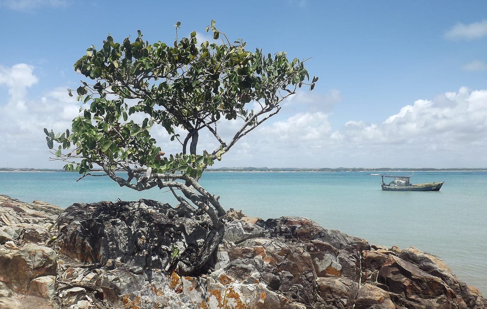 Beach Surroundings Barra de Sirinhaém Beach The first beach in Sirinhaém after the Ipojuca border, at the mouth of the Sirinhaém River, facing Santo Aleixo Island. It is outside Porto de Galinhas. See details
 -
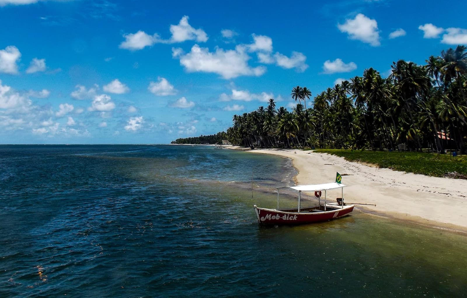 Tide-dependent Beach Surroundings Carneiros Beach The beach with the little São Benedito chapel, in Tamandaré, outside Ipojuca. A classic day trip if you are staying in Porto de Galinhas, always planned around the tide. See details
 -
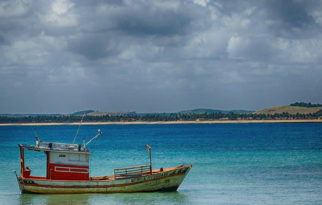 Tour Surroundings Santo Aleixo Island A small private island off the coast of Sirinhaém, south of Ipojuca, with beaches and a cove of natural pools. Access by boat from Barra de Sirinhaém. See details