Plan
Porto de Galinhas map: beaches and attractions
Every beach and attraction in the guide with a verified location, on a single map: the resort-lined north, the village, the quiet south and the day trips.
Updated on October 5, 2026 ✓ Information checked on October 5, 2026 adapted from the Portuguese original
Porto de Galinhas is not just one beach: it is a stretch of the Ipojuca coast with very different beaches, plus a series of outings a few hours’ drive away. The map below brings together everything the guide covers that has a verified location. Tap a point to open that place’s page.
See the 28 beaches and attractions in this guide with a verified location on the map.
The map uses OpenStreetMap and only loads after you click; once loaded, your browser connects to OpenStreetMap servers.
- Beach
- Natural pools
- Tour
- Nature
- History and culture
- Village
- Highlights
North coast of Ipojuca
Porto de Galinhas village
South coast of Ipojuca
Surroundings
- Santo Aleixo Island view on map
- Carneiros Beach view on map
- Ipojuca Historic Center view on map
- Calhetas Beach view on map
- Gaibu Beach view on map
- Suape Beach view on map
- Itapuama Beach view on map
- Paiva Beach view on map
- Boa Viagem Beach view on map
- Guadalupe Beach view on map
- Tamandaré Beach view on map
- São José da Coroa Grande Beach view on map
- Maragogi Beach view on map
- Old Recife (Bairro do Recife) view on map
- Olinda historic center view on map
- Oficina Francisco Brennand view on map
- Ricardo Brennand Institute view on map
- Armando de Holanda Cavalcanti Metropolitan Park view on map
- Engenho Massangana view on map
Locations from OpenStreetMap and Wikipedia (source shown on each page). Places without a confirmed coordinate are left off the map.
How to read the map
- North of Ipojuca: Muro Alto, Camboa, Cupe and Merepe, the resort area and home of the large natural pool at Muro Alto, about 9 km from the village, according to Ipojuca City Hall.
- Village of Porto de Galinhas: the main beach, the jangada (traditional raft) departure point and the natural pools.
- South of Ipojuca: Maracaípe, the Pontal, Serrambi and Toquinho, quieter, and in Maracaípe, the surf waves.
- Surroundings: to the north, the beaches of Cabo de Santo Agostinho and Recife; to the south, Sirinhaém, Tamandaré and, already in the state of Alagoas, Maragogi.
The colored pins follow the type of place (beach, outing, nature, culture). Maré, the guide’s hen mascot, marks the highlights.
Planning from the map
- Accommodation close to what you want to do: compare the areas in where to stay in Porto de Galinhas and where to stay in Muro Alto.
- Arrival via Recife airport, to the north: see how to get there.
- The municipality’s beaches side by side: Porto de Galinhas beaches.
- Day trips outside Ipojuca: beaches near Porto de Galinhas.
Frequently asked questions
Where is Porto de Galinhas on the map?
On the southern coast of Pernambuco, in the municipality of Ipojuca, south of Recife. The village sits in the middle of the municipality's coastline: to the north are Muro Alto, Cupe and Merepe; to the south, Maracaípe, the Pontal, Serrambi and Toquinho.
How far is Muro Alto from the village of Porto de Galinhas?
About 9 km, according to Ipojuca City Hall. Muro Alto is north of the village.
Does the map show every beach?
It shows the beaches and attractions in the guide whose coordinates were verified on OpenStreetMap or Wikipedia. Places without a confirmed location are left off the map, but remain in the list of beaches.
Why does the map only appear after a click?
So the page opens faster and so your browser only connects to the OpenStreetMap servers if you want to see the map.
Keep reading
Keep planning
-
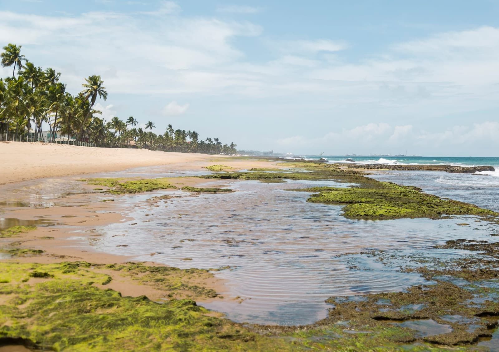 Porto de Galinhas beaches: from north to south A comparison of Ipojuca's beaches, from Muro Alto to Toquinho: what the sea is like, who each one suits and when to go. Read guide
 -
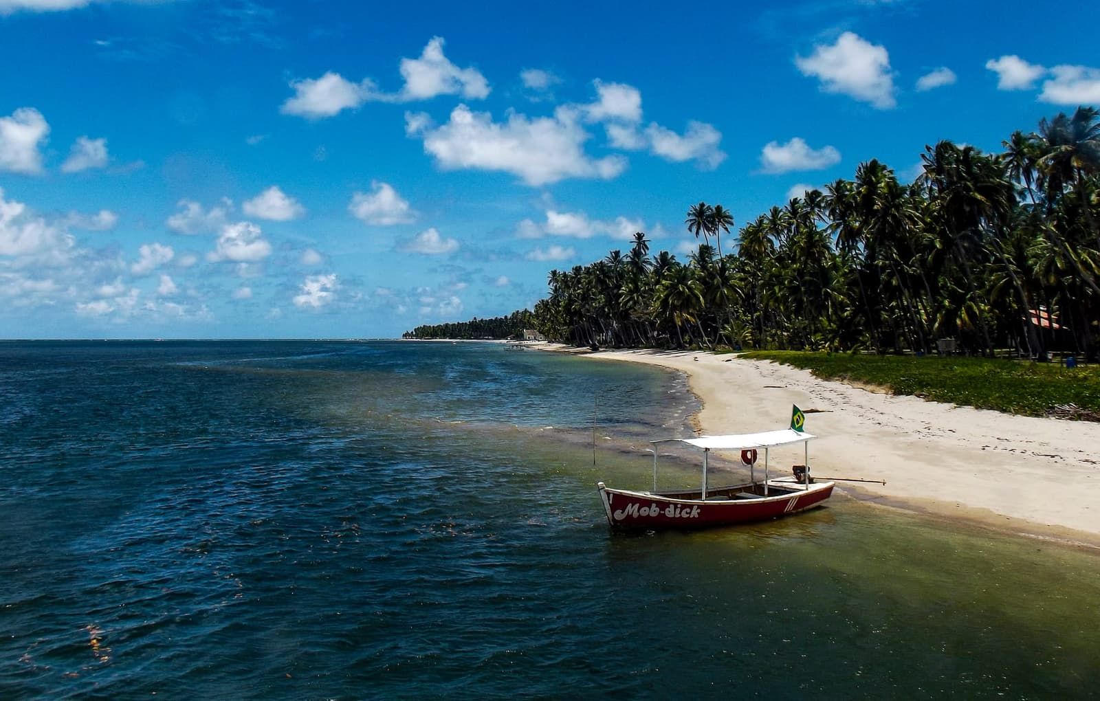 Beaches near Porto de Galinhas The beaches outside Ipojuca that are worth a trip: to the south, from Sirinhaém to Maragogi; to the north, Cabo de Santo Agostinho and Boa Viagem, in Recife. Read guide
 -
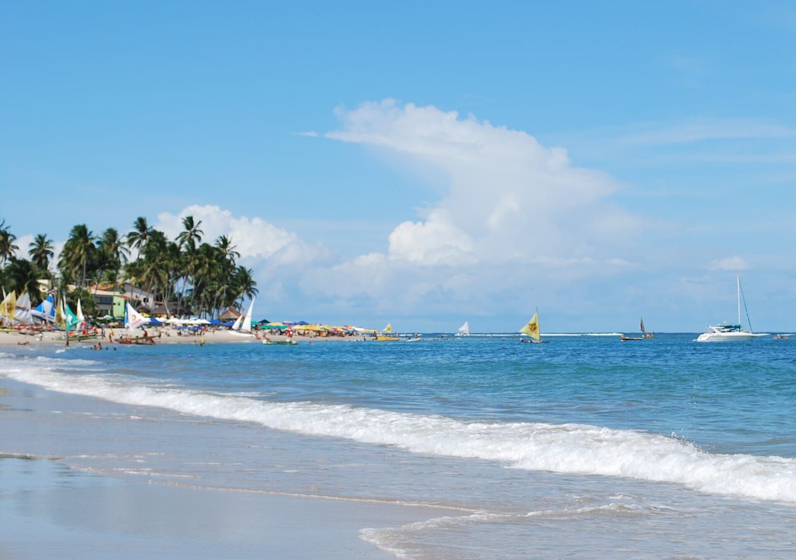 How to get to Porto de Galinhas: plane, car and bus The standard route is to fly into Recife and head about 60 km south by car, transfer or bus. Read guide