Porto de Galinhas beaches: from north to south
A comparison of Ipojuca's beaches, from Muro Alto to Toquinho: what the sea is like, who each one suits and when to go.
Updated on October 5, 2026 ✓ Information checked on October 5, 2026 adapted from the Portuguese original
“Porto de Galinhas” is the name of the village and its main beach, but visitors use it for the whole coast of Ipojuca, the municipality the village belongs to. The beaches are very different from one another: some are sheltered by reefs, others face the open sea and its waves. Picking the right one for each day makes a difference.
North to south comparison
| Beach | Area | What the sea is like | Best for |
|---|---|---|---|
| Camboa | North | Next to Muro Alto, few facilities | Peace and quiet, people already in Muro Alto |
| Muro Alto | North | A reef wall forms the largest natural pool in the area (about 3 km) | Calm swimming, kids, kayaking, stand-up paddleboarding |
| Cupe | North | Long stretch of sand, some reef areas | Walking, swimming at low tide |
| Merepe | North | Between Cupe and the village, quieter | People staying in the area |
| Porto de Galinhas | Center | Natural pools in the reefs off the village | Jangada rides, snorkeling, facilities |
| Maracaípe | South | Open sea with waves | Surfing, bodyboarding |
| Pontal de Maracaípe | South | Where the river meets the sea, mangroves | Seahorses, sunset |
| Serrambi | South | Open-sea and reef stretches | Peace and quiet, pools at low tide |
| Ponta de Serrambi | South | A headland with reefs on one side and open sea on the other | Scenery, low tide |
| Enseadinha | South | Small cove inside a gated development | Seclusion seekers (bring ID) |
| Toquinho | South | Long stretch with rocks | Calm, the end of the line in Ipojuca |
These are general profiles. The sea changes with the tide, the wind and the season. Before going in, check the flags and ask the lifeguards.
North: Muro Alto, Camboa, Cupe and Merepe
Muro Alto Beach is the star of the north and, for many people, the reason for the trip. Ipojuca City Hall describes a wall of reefs that surrounds almost the whole beach and forms a huge natural pool of calm, warm water; Wikipedia gives the beach a length of about 3 km. It lies about 9 km north of the center of Porto de Galinhas and is home to large resorts, many with day-use passes. If you plan to stay there, see where to stay in Muro Alto.
Right next to Muro Alto, Camboa Beach is served by the same road and has few facilities. In 2026, a court ordered the City Hall to guarantee public access to both beaches.
Cupe Beach and Merepe Beach lie between Muro Alto and the village. They are good for walking and for anyone who wants less bustle than in the center.
Center: the village beach
Porto de Galinhas Beach has the most facilities and the famous natural pools, reached by jangada (a traditional wooden sailboat). The City Hall reports water at around 27 °C all year and recommends going at low tide, preferably in the morning.
South: Maracaípe, the Pontal, Serrambi, Enseadinha and Toquinho
Maracaípe Beach is about 3 km south of the village. It is the beach for waves, recognized in national and international surfing according to the City Hall. Further south, Pontal de Maracaípe brings together mangroves, the river and the boat trip to see seahorses. In 2017, the City Hall created a Municipal Natural Park there covering just over 15 hectares of mangrove, according to Folha de Pernambuco.
Then come Serrambi and Toquinho, quieter and with gated residential areas. They suit travelers looking for peace and quiet. Between the two, Ponta de Serrambi splits the shore into a reef side and an open-sea side, and on its far side lies the small Enseadinha Beach, inside a gated development with a gatehouse: bring ID.
-
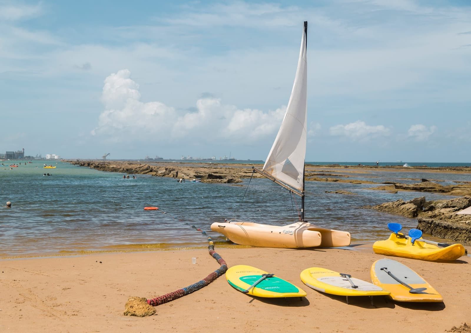 Free accessKidsTide-dependent Beach North coast of Ipojuca Muro Alto Beach The wall of reefs that gives the beach its name holds back the waves and creates a natural pool of calm, warm water about 3 km long. It is the reason many people make the trip. See details
 -
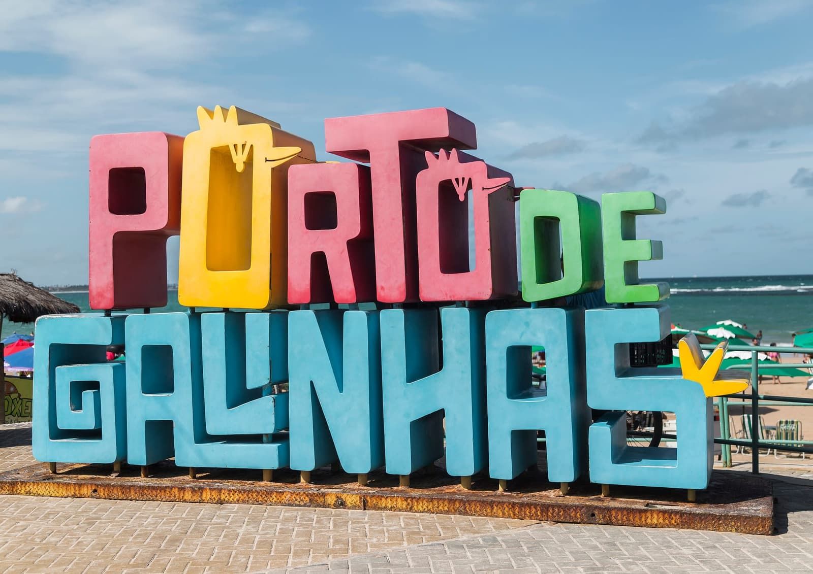 Free accessTide-dependent Beach Porto de Galinhas village Porto de Galinhas Beach The village's main beach and the departure point for jangada boats to the natural pools. It runs on the tide's rhythm: plan your day with the tide table. See details
 -
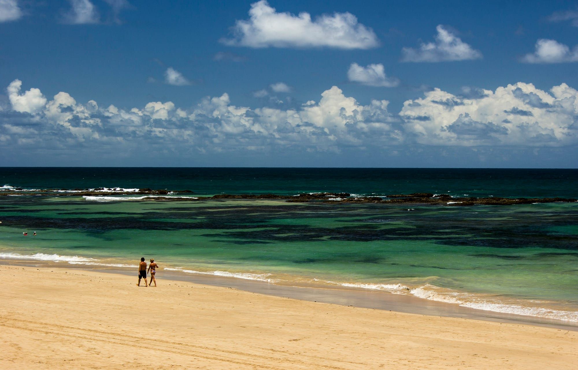 Free accessTide-dependent Beach North coast of Ipojuca Cupe Beach One of the longest beaches in the area, with about 4.5 km of shoreline, strong waves and stretches of reef. Take extra care when swimming. See details
 - Free access Beach North coast of Ipojuca Merepe Beach A quieter stretch between Cupe and the village, with open sea and waves. Good for walking; swim only with close attention to the flags. See details
-
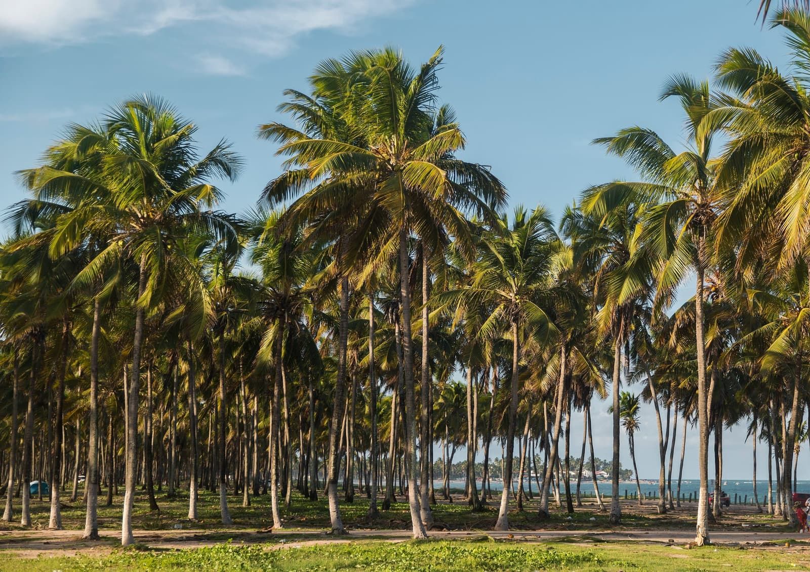 Free access Beach South coast of Ipojuca Maracaípe Beach The surf beach of Porto de Galinhas, about 3 km south of the village. At its southern end is the Pontal, where the river meets the sea. See details
 -
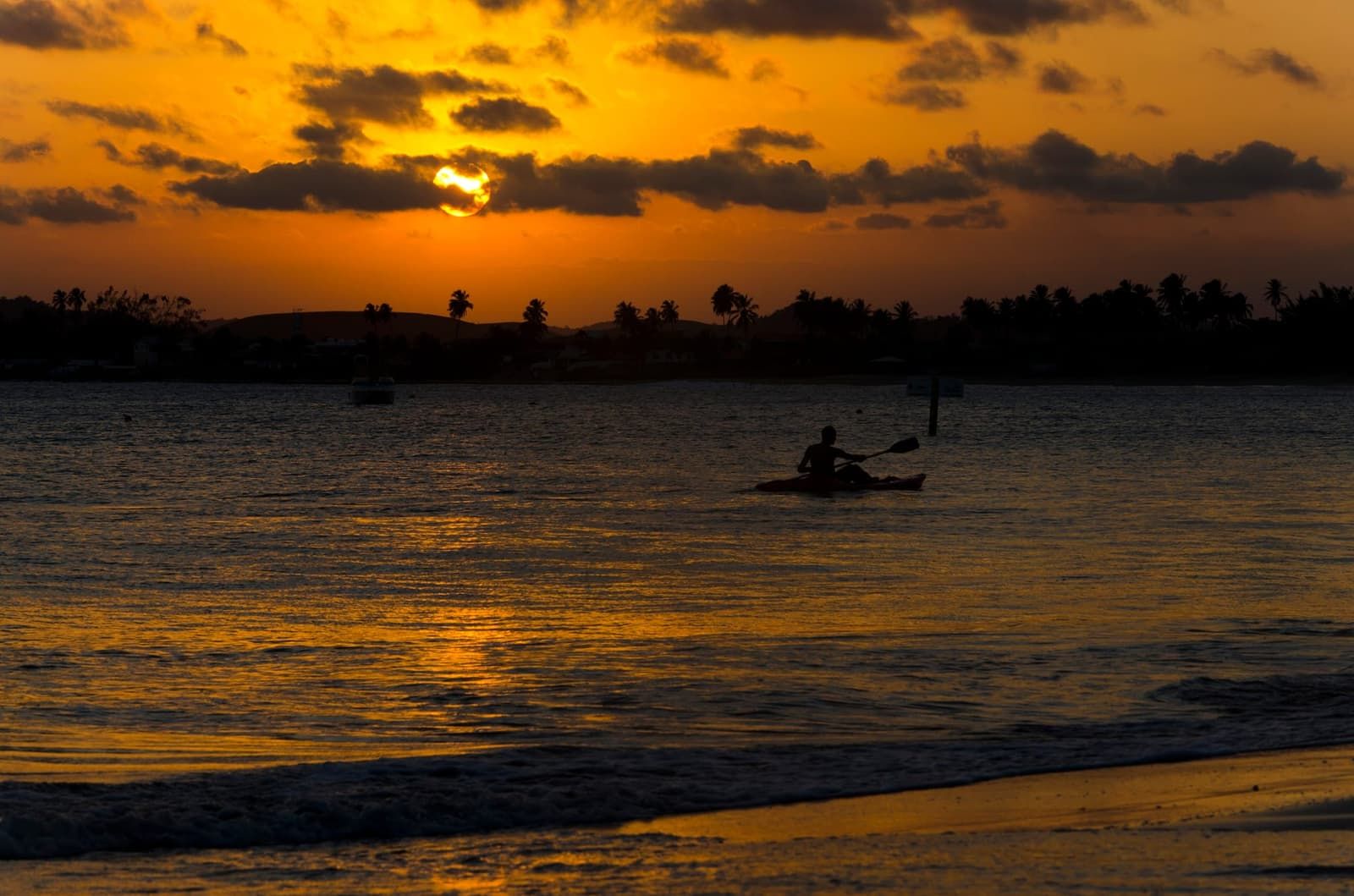 Free accessTide-dependent Beach South coast of Ipojuca Serrambi Beach A beach in southern Ipojuca, between Pontal de Maracaípe and Toquinho, with one side sheltered by reefs and the other open to the sea. Quieter than the village. See details
 - Free access Beach South coast of Ipojuca Toquinho Beach One of Ipojuca's southernmost beaches, next to Serrambi, with a residential feel and access through gated communities. Bring ID. See details
- Free access Beach North coast of Ipojuca Camboa Beach A quiet beach in northern Ipojuca, right next to Muro Alto and reached by the same road. Few facilities, and access that went through the courts in 2026. See details
- Free access Beach South coast of Ipojuca Enseadinha Beach (Serrambi) A small cove in Serrambi, on the other side of Ponta do Serrambi. A gated-community beach with a gatehouse and access being disputed in court. Bring ID. See details
-
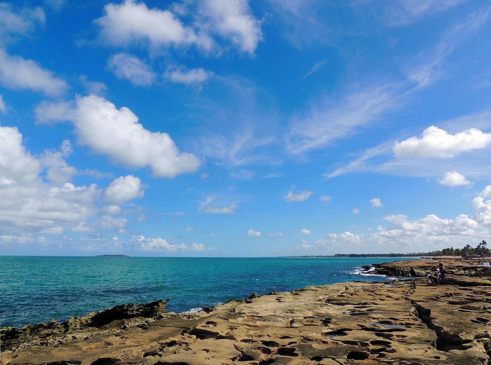 Free accessTide-dependent Beach South coast of Ipojuca Ponta de Serrambi The headland that splits Serrambi into two faces, with reefs on one side and open sea on the other. It is a CPRH monitoring point: check the bulletin before swimming. See details
See the 9 beaches and attractions in this guide with a verified location on the map.
The map uses OpenStreetMap and only loads after you click; once loaded, your browser connects to OpenStreetMap servers.
- Beach
- Natural pools
- Village
- Highlights
North coast of Ipojuca
Porto de Galinhas village
South coast of Ipojuca
Locations from OpenStreetMap and Wikipedia (source shown on each page). Places without a confirmed coordinate are left off the map.
How to choose by the tide
- Low tide: head for the reefs. The village pools, Muro Alto and the reef stretches of Serrambi.
- High tide: choose open beaches for walking, or the Pontal in the late afternoon.
- Wave days: Maracaípe is for surfers. If you lack experience, stay near the shore and follow the lifeguards.
Official times come from the Brazilian Navy tide tables for the Port of Suape. See how to use them in the tide table.
Beyond Ipojuca
Want to go further? To the north, in Cabo de Santo Agostinho, are Calhetas, Gaibu, Suape, Itapuama and Paiva; in Recife, Boa Viagem. To the south, Barra de Sirinhaém, Guadalupe, Carneiros, Tamandaré, São José da Coroa Grande and, across the state line in Alagoas, Maragogi. The comparison is in beaches near Porto de Galinhas. To decide where to stay based on the beach, see where to stay.
Attractions mentioned
- Free accessKidsTide-dependent Beach North coast of Ipojuca Muro Alto Beach The wall of reefs that gives the beach its name holds back the waves and creates a natural pool of calm, warm water about 3 km long. It is the reason many people make the trip. See details
- Free accessTide-dependent Beach Porto de Galinhas village Porto de Galinhas Beach The village's main beach and the departure point for jangada boats to the natural pools. It runs on the tide's rhythm: plan your day with the tide table. See details
- Free accessTide-dependent Beach North coast of Ipojuca Cupe Beach One of the longest beaches in the area, with about 4.5 km of shoreline, strong waves and stretches of reef. Take extra care when swimming. See details
- Free access Beach North coast of Ipojuca Merepe Beach A quieter stretch between Cupe and the village, with open sea and waves. Good for walking; swim only with close attention to the flags. See details
- Free access Beach South coast of Ipojuca Maracaípe Beach The surf beach of Porto de Galinhas, about 3 km south of the village. At its southern end is the Pontal, where the river meets the sea. See details
- Free accessTide-dependent Beach South coast of Ipojuca Serrambi Beach A beach in southern Ipojuca, between Pontal de Maracaípe and Toquinho, with one side sheltered by reefs and the other open to the sea. Quieter than the village. See details
- Free access Beach South coast of Ipojuca Toquinho Beach One of Ipojuca's southernmost beaches, next to Serrambi, with a residential feel and access through gated communities. Bring ID. See details
- Free access Beach North coast of Ipojuca Camboa Beach A quiet beach in northern Ipojuca, right next to Muro Alto and reached by the same road. Few facilities, and access that went through the courts in 2026. See details
- Free access Beach South coast of Ipojuca Enseadinha Beach (Serrambi) A small cove in Serrambi, on the other side of Ponta do Serrambi. A gated-community beach with a gatehouse and access being disputed in court. Bring ID. See details
- Free accessTide-dependent Beach South coast of Ipojuca Ponta de Serrambi The headland that splits Serrambi into two faces, with reefs on one side and open sea on the other. It is a CPRH monitoring point: check the bulletin before swimming. See details
Beaches
In this section
Frequently asked questions
Which Porto de Galinhas beach is best for kids?
Beaches sheltered by reefs, such as Muro Alto, usually have calmer water. Ipojuca City Hall describes Muro Alto as a large natural pool of calm water. Even so, keep an eye on the tide and follow the lifeguards' instructions.
Which beach is best for surfing?
Maracaípe. Ipojuca City Hall presents it as one of the best surfing beaches in Brazil, with a strong track record in competitions.
Where can I watch the sunset?
At Pontal de Maracaípe, where the river meets the sea. The City Hall describes late afternoon there as a gathering point for locals and visitors.
Are the Porto de Galinhas beaches far apart?
According to the City Hall, Muro Alto is about 9 km north of the center of Porto de Galinhas and Maracaípe about 3 km south. The others lie along the same stretch of coast.
Keep reading
Keep planning
-
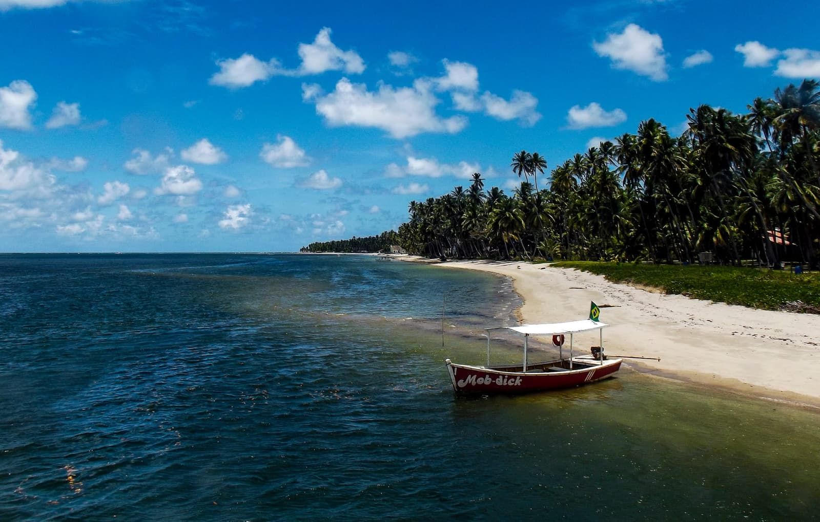 Beaches near Porto de Galinhas The beaches outside Ipojuca that are worth a trip: to the south, from Sirinhaém to Maragogi; to the north, Cabo de Santo Agostinho and Boa Viagem, in Recife. Read guide
 -
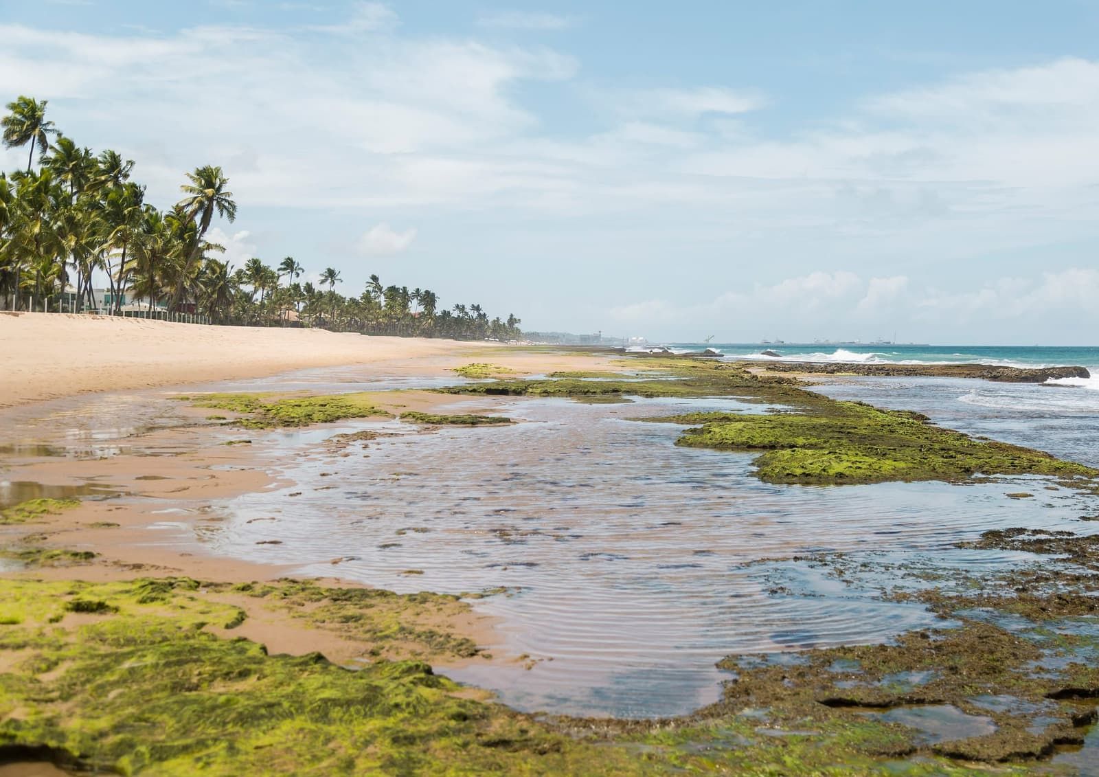 Porto de Galinhas tide table: how to read it and where to check Understand high tide, low tide and tide height, and use the official Navy forecast to choose your day for the natural pools. Read guide
 - Where to stay in Porto de Galinhas: the best areas The village if you want everything on foot, Muro Alto and Cupe for resorts, Maracaípe for peace and surf, Serrambi for seclusion. Read guide