- Type
- Beach
- Area
- Surroundings
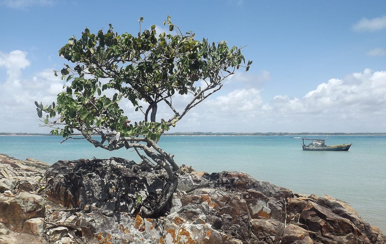
Barra de Sirinhaém Beach is in the municipality of Sirinhaém, just south of Ipojuca (the municipality that Porto de Galinhas belongs to), so it is outside Porto de Galinhas. It is the beach at the mouth of the Sirinhaém River and the main departure point for trips to Santo Aleixo Island. If you are staying in Porto de Galinhas, it usually makes it into your itinerary precisely because of the island.
What it is
According to Wikipedia, Barra do Sirinhaém Beach is about 8 km long, with golden medium-grain sand and coconut palms. It lies at the mouth of the Sirinhaém River, which gives the municipality its name; in the Tupi language, the name means something like “crab plate”. Barra do Sirinhaém is also one of the municipality’s three districts, alongside the town center and Ibiratinga.
The Sirinhaém coast continues south through Gamela and Guadalupe beaches, up to the mouth of the Formoso River.
Where it is and how to get there
Barra lies south of Porto de Galinhas. According to Wikipedia, Serrambi Beach, in Ipojuca, borders Praia da Barra to the south, already in Sirinhaém. Neighboring Toquinho Beach is also close to the Sirinhaém River estuary.
We did not find an official distance or travel time from the village. You get there by car, heading south. Travelers going to Santo Aleixo usually book the full tour with agencies in Porto de Galinhas, including transport to Barra and the boat to the island. Compare options in Porto de Galinhas tours.
When to go
At a river-mouth beach, the tide changes everything: the width of the sand, the current and the conditions for the boat crossing. Use the Porto de Galinhas tide table as a reference for the southern coast and choose calm-sea days, especially if you are taking the boat to the island.
Who it suits
- Travelers heading to Santo Aleixo Island: Barra is the most used boarding point.
- People who want to see another side of the southern coast, with river, mangrove and coconut palms.
- Families: possible, but take extra care near the river mouth and on the boat; bring life jackets in children’s sizes or check with the operator.
Environmental and safety tips
The Sirinhaém River estuary is part of the Sirinhaém and Maracaípe Rivers Estuarine Environmental Protection Area, created by State Law 9,931/1986 and managed by the state environmental agency CPRH, which protects mangroves in Ipojuca and Sirinhaém. The sea off the municipality is part of the Serrambi Reefs Marine Environmental Protection Area, also managed by CPRH.
- Do not throw trash in the river, the mangrove or on the sand.
- Do not take crabs, shells or plants from the mangrove.
- On the boat, wear a life jacket and follow the skipper’s instructions.
- At the river mouth, the current can be strong; only swim where the water is calm and shallow.
- There is no official information about lifeguards on this beach.
How to fit it into your itinerary
The most common approach is to use Barra as the gateway to a full day at Santo Aleixo, from the fourth or fifth day of your trip. See the 5-day itinerary. If you have a car, you can combine Barra with a stop at Guadalupe. More options outside the village in beaches near Porto de Galinhas.
Practical tips
- If you are heading to Santo Aleixo Island, book the boat with a licensed operator and confirm what is included.
- Insist on a life jacket and do not board when the sea is rough.
- At the river mouth, watch out for currents, especially on the ebb tide.
- Respect the mangrove: it is part of a state protected area.
Frequently asked questions
Is Barra de Sirinhaém in Porto de Galinhas?
No. It is in the municipality of Sirinhaém, just south of Ipojuca. According to Wikipedia, Serrambi Beach, in Ipojuca, borders Praia da Barra to the south, already in Sirinhaém.
What is Barra de Sirinhaém Beach like?
According to Wikipedia, it is about 8 km long, with golden medium-grain sand and coconut palms, and lies at the mouth of the Sirinhaém River. Barra de Sirinhaém is also one of the municipality's districts.
Do the boats to Santo Aleixo Island leave from Barra de Sirinhaém?
Yes, it is the most common route. According to Wikipedia, the island is about 2 km east of Barra de Sirinhaém. Boat prices and schedules vary by operator and have no official source; check before you go.
Combine with
-
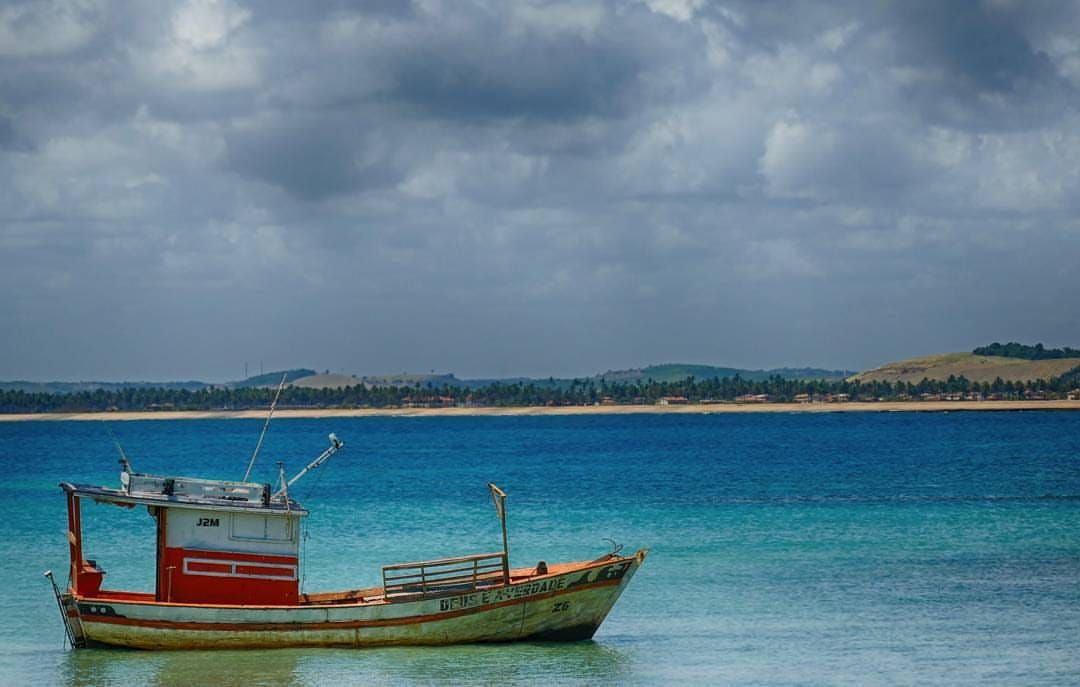 Tour Surroundings Santo Aleixo Island A small private island off the coast of Sirinhaém, south of Ipojuca, with beaches and a cove of natural pools. Access by boat from Barra de Sirinhaém. See details
 -
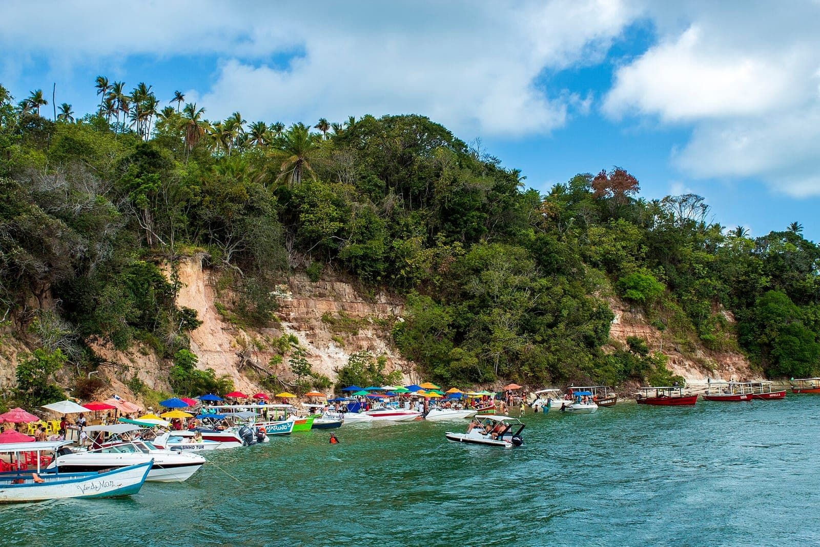 Beach Surroundings Guadalupe Beach A shallow-water beach on the Sirinhaém coast, outside Ipojuca, between Gamela Beach and the mouth of the Formoso River. Pairs well with the drive to Carneiros. See details
 -
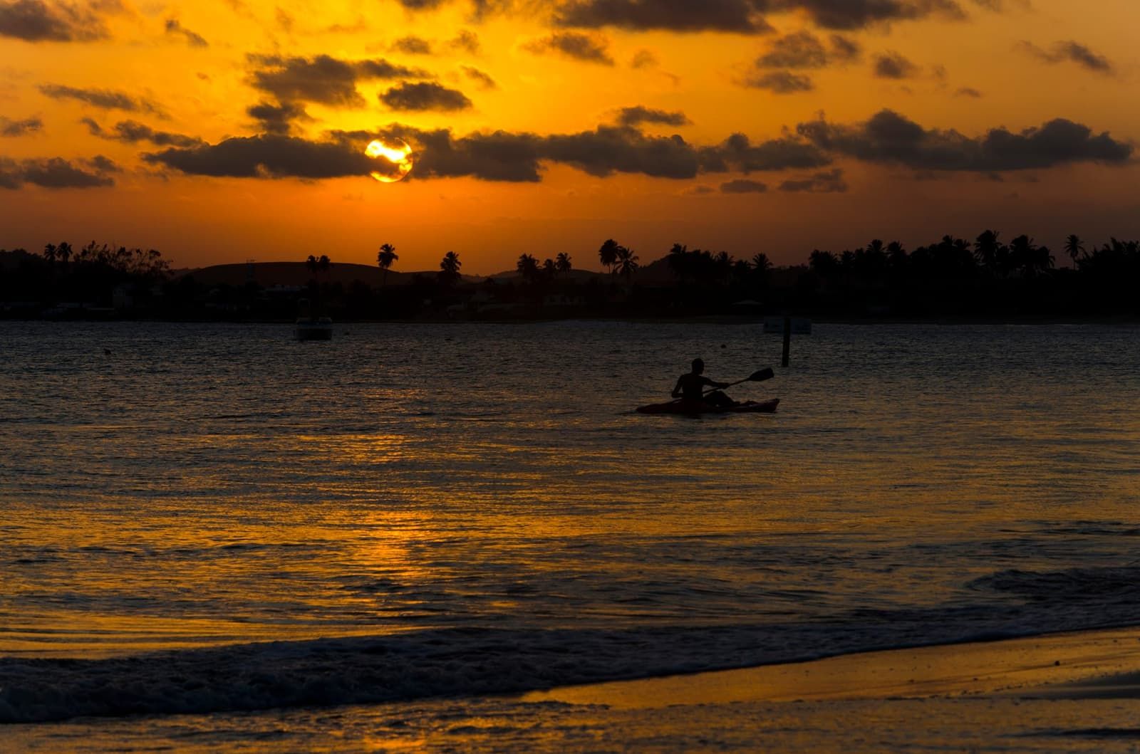 Free accessTide-dependent Beach South coast of Ipojuca Serrambi Beach A beach in southern Ipojuca, between Pontal de Maracaípe and Toquinho, with one side sheltered by reefs and the other open to the sea. Quieter than the village. See details